Virginia’s western counties had little in common at the outset of the war with the populous and politically powerful section of the state east of the mountains.
Opposed to secession, political leaders from the west distanced themselves from Virginia’s decision to leave the Union. The rift was so great that the western counties themselves seceded — from the rest of the state. West Virginia became the 35th state on June 20, 1863. By then, the state was in firm Federal control.
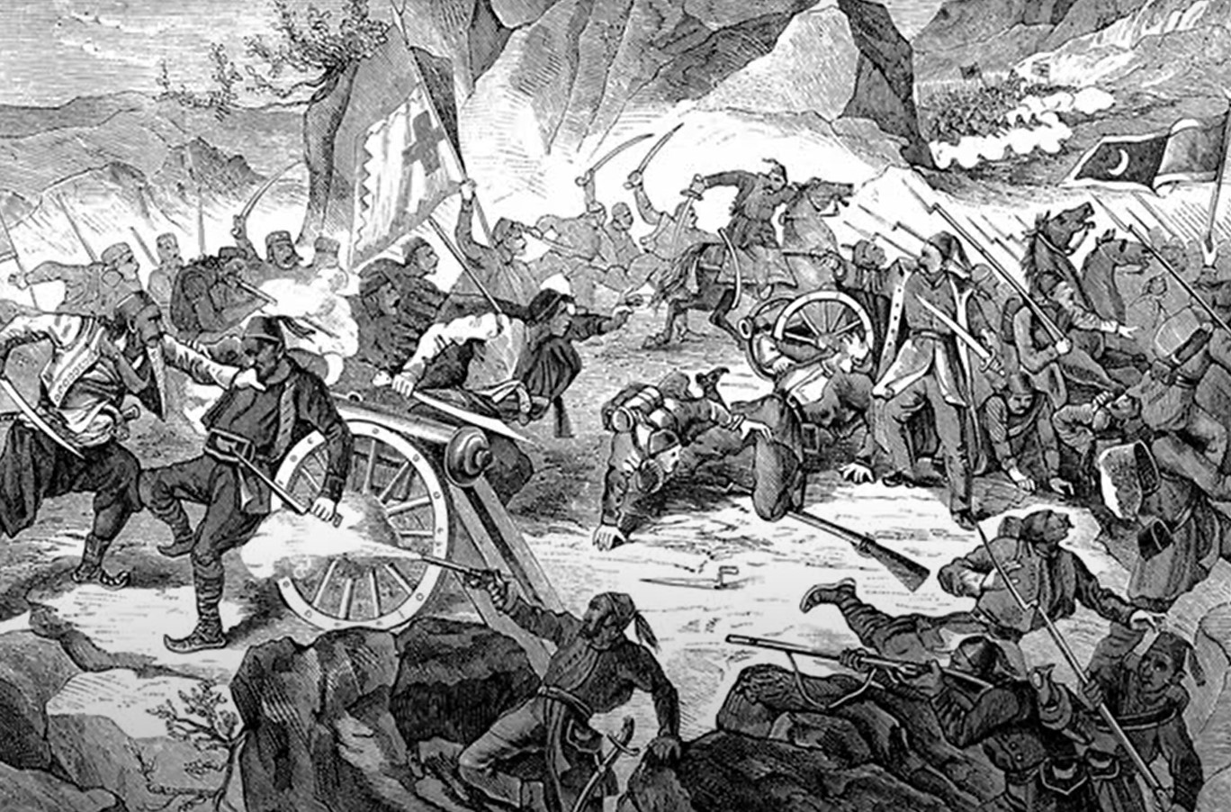
But Union military dominance wasn’t always that certain.
McClellanControl of transportation arteries in northwest Virginia, including the Staunton-Parkersburg Turnpike (now US 250) and the Baltimore & Ohio Railroad, was the main theme in 1861. The first land battle of the war broke out June 3, 1861, when Union troops under Gen. George McClellan brushed aside Confederate resistance at Philippi.
By July, Confederates had established strongholds on and around Rich Mountain. Union troops under McClellan and Gen. William Rosecrans successfully attacked those positions July 11–14, forcing the Confederates to withdraw.
Concerned with the defense of the Shenandoah Valley and the Virginia & Tennessee and Virginia Central Railroads, Confederate President Jefferson Davis sent Robert E. Lee west to try to straighten out the situation. In his first field activity of the war, Lee couldn’t get the job done. Friction between local Confederate commanders, poor weather, disease, rugged terrain and general bumbling thwarted Lee’s attempt to drive the Federals from their bastion at Cheat Mountain Fort.
At about the same time, Union forces drove Confederates from their fortifications at Carnifex Ferry. Eventually the Southerners retired to Camp Allegheny on the present-day Virginia-West Virginia border. A Union attack there on Dec. 13, 1861, failed.
After the fighting and maneuvering in 1861, the area that would become West Virginia was in Union hands. Confederates mounted periodic raids and isolated actions but never seriously threatened again.
The Staunton-Parkersburg Turnpike Corridor (US 250)

Philippi
Barbour County Historical Museum
Trails sign east of the bridge at 146 N Main St, Philippi WV 26416
304-457-4846
A 303-foot covered bridge over the Tygart Valley River, originally opened in 1852, is a landmark on the June 3, 1861, battlefield. Both sides used the bridge. Museum open May–October and features much on Civil War history.
Talbott’s Hill
Trails sign at Alderson-Broaddus College, 101 College Hill Drive, Phillipi WV 26416
This is where Union guns first opened up on Philippi June 3, 1861. It’s also the spot from which one column of Union infantry descended to the covered bridge and into the town.
Elkins
War in West Virginia (The First Campaign)
Trails sign located at the Elkins Train Depot, 315 Railroad Ave, Elkins WV 26241
Trails sign here is an introduction for the first real Federal campaign in the late spring of 1861, which was designed to protect the vital B&0 Railroad and “to secure Western Virginia for the Union.” Gen. George McClellan’s success in this campaign won him fame and command of the Army of the Potomac following the Federal disaster at First Manassas. Confederate Gen. Robert E. Lee was also involved in the Southern losses here, but more than redeemed himself as commander of the Army of Northern Virginia.
McClellan’s Camp

Trails sign at 25 Park St, Buckhannon WV 26201
Union Gen. George McClellan’s force camped here in early July 1861 preparing to attack Confederates at Rich Mountain near Beverly. The Union commander noted how cold it was in July and complained about lack of supplies. He wrote of his intention to maneuver the Confederates from their position. But his subordinate Gen. William Rosecrans succeeded at Rich Mountain July 11 by direct attack.
Rich Mountain Battlefield
The battlefield itself is about 5 miles west of Beverly. Look for the signs to the site, turn on Bridge Street. Pick up information about the battle and a Civil war walking tour of Beverly at the Beverly Heritage Center, a block east of US 250 on Court Street.
304-637-7424
Dramatic July 11, 1861, Union victory here protected both the B&O Railroad and western Virginians’ efforts to form a separate government. This battle pretty much settled the question of military control over the western Virginia mountains.
The battlefield is interpreted with walking trails at two main sites along the old Staunton-Parkersburg Turnpike, one at the mountain summit, the other at Camp Garnett.
Battlefield open daylight hours. Begin your visit with exhibits at the Beverly Heritage Center (4 Court St) open 10 am-6 pm Thursday-Saturday, 11 am-5 pm Sunday-Wednesday (mid-May-Labor Day).
Shortened hours and closed Tuesday-Wednesday other times. $5.
The Battle of Laurel Hill Driving Tour
Tour with interpretive signs on Route 15 (Beverly Pike) off U.S. 250 near Belington
304-823-3327
A self-guided driving tour with interpreted stops describes this July 1861 camp and battlefield. Confederate Gen. Robert Garnett fortified this site and skirmished July 7–11, 1861, with approaching Federals under Gen. George McClellan. Following the Confederate defeat at Rich Mountain, Garnett’s small army was cut off and forced to retreat using a rugged mountain road. Union forces caught up at Corrick’s Ford where Garnett was killed and his army scattered.
Corrick’s Ford
Trails sign and other istorical markers on the battlefield park on West Virginia Allegheny Highlands Trail. Parkiing area on Poplar Street, a block east of Main Street (Route 219) in Parsons
Following the Union victory at Rich Mountain July 11, 1861, Confederate Gen. Robert Garnett attempted to turn northeast to avoid an expected trap. The Confederates were slowed by bad roads and rain; Union forces caught up with them near here. Garnett was killed in the resulting action, the first general killed in the war. His small army scattered into Highland County VA.
Cheat Mtn

Cheat Summit Fort
Monongahela National Forest site off US 250 about 9 miles southeast of Huttonsville, look for brown sign just north of the railroad tracks. Rough road (turn right at the fork) leads to the site about 1 mile from main highway
304-636-1800
This Federal stronghold was constructed to control the Staunton-Parkersburg Pike and protect the B&O Railroad. Robert E. Lee’s Confederates menaced the fort Sept. 12, 1862, but never really mounted an attack. Earthworks are still visible a short walk from the parking area.
“Huntersville”
537 Huntersville Road, Marlinton WV 24954
Huntersville served as the base camp for Confederate Gen. William Loring’s army in the late summer of 1861 and was the site from which the ill-fated campaign against Cheat Summit Fort was launched. Robert E. Lee camped here for three days during that time.
Camp Allegheny
Monongahela National Forest site off U.S. 250 at the Virginia-West Virginia border, follow the signs
304-636-1800
A dirt road, part of the original route of the Staunton-Parkersburg Pike, takes you back to the site of fortifications and camp occupied by Col. Edward Johnson’s Confederates during part of the winter of 1861. Union attacks here Dec. 13 failed to dislodge Johnson, but the Southerners soon withdrew near Staunton due to long supply lines and inclement weather. Experienced Civil War historians and travelers marvel at this wonderfully preserved site. The chimney stones have fallen in place from the Confederate huts and the scenery is breathtaking. The national forest provides some interpretation. Some of the area is privately owned. The road can be treacherous in wet weather.